




You thought the library was supposed to be boring, right? Well, not when the New York Public Library messes around and comes up with some cool stuff for the web.
People seemed to dig the interactive map of Manhattan in 1609 we posted recently, and we have to admit: we did too. Sure, you expect that wherever you search, the results will inevitably be "nature," but that's what's mind blowing about it.
So now, we're bringing you another blast from the past.
A map of New York City's businesses as of 1855. Ever wonder how long your bodega has actually been on that corner? What was there before it?
Now you can see what was what. And all thanks to the NYPL's Mauricio Giraldo, who compiled a ton of data from the Library's stacks of maps from 1855.
It's not just businesses, either. There are horse stables (that's right, stables used to be all over the place), churches, and lots more.
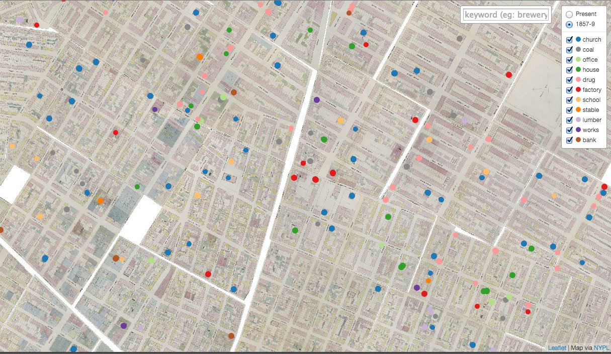
via Codepen
This is simply another great way to get to know the City throughout time.
Granted, New York City is not that old compared to many other places around the world. But it is a fact that since the Dutch arrived in the early 1600s, it's all all been going down right there in these streets.
So now check out this amazing map right here. (You might be especially surprised by how many schools there were in Manhattan back in the day.)
Explore Manhattan Way Back in 1609 With This Amazing Interactive Map.
[via Codepen]