

We live in a city with history thriving on every street corner, but we have a hard time preserving most of it, ‘cuz space be at a premium here.
For every building that gets on a landmark registry, it seems like six more miss the mark and fall into decay.
And yeah, it’s pretty hard to walk two blocks in Manhattan without coming across any construction (which we appreciate, because some places are in serious need of repair).
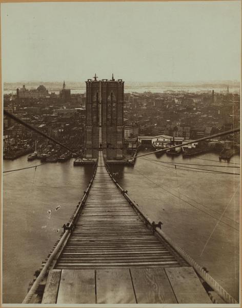
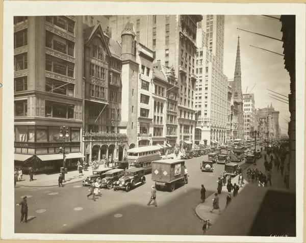
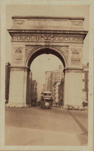
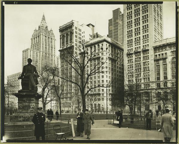
But do you ever wonder what New York City looked like before all this newfangledness?
Of course you do. Well, now you can take that wonder and wander (#punny) through NYC in the 1800s, using Google Street View.
Time Out reports that the mighty Google has given you a way to pass the time until someone (anyone??) invents the flux capacitor with this interactive map, created and developed by Dan Vanderkam.
Dan didn’t go it alone, though. He had some major help from the New York Public Library and their digital collections of NYC pics.
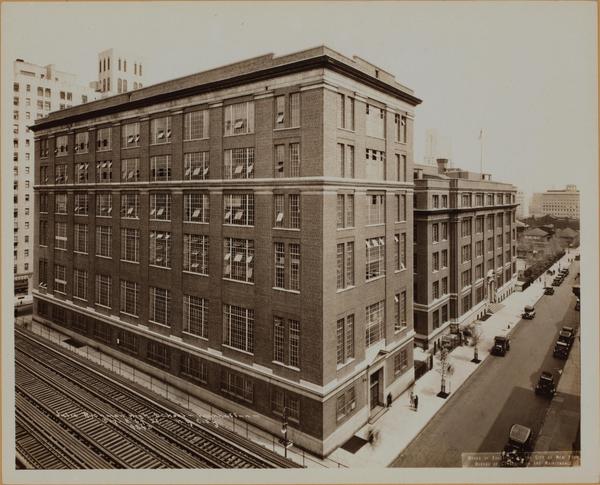
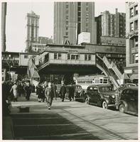
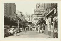
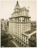
The NYPL’s got a collection to make all your beloved Insta followers jealous, so when you’re done drooling over their collection, be sure to check out the map here. For now, enjoy some of the pictures.
[anad]